Online Courses

Teaching Volcanoes
Activities and Resources
You can narrow down your search by selecting the Topic and/or Type of resource.
To return to the full listing, just unselect the boxes.

Tsunami Evacuation!

Magma Paperclips

Eruption Styles
Writing Prompts
Granite Mineral Search

Earth’s Rock Cycle Poster (Free)
Earth’s Rock Cycle Poster
Rock Cycle Proceses (Complex)
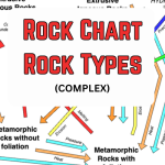
Rock Cycle Rock Types (Complex)
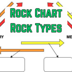
Rock Cycle Rock Types
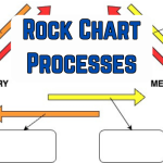
Rock Cycle Processes

Mineral Charts
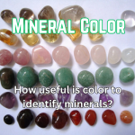
Mineral Color

Gold Streak
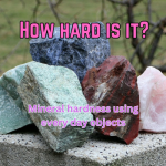
How hard is it?
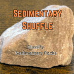
Sedimentary Shuffle
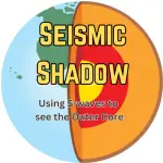
Seismic Shadow
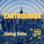
Earthquake – Data
Tsunami – Data
Volcanic Eruptions – Data
Sock Faults
What soil type?
Plate Tectonics Battleships
What is doing it – Physical Weathering
Freeze and thaw – physical weathering demo
Soil in a jar
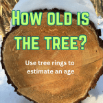
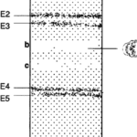
How old was the tree?

Flow vs Sill

Iceland – damage in Grindavik photos

Hekla History

What’s happening on Sebago Beach?

Count the columns

Graptolite Games

Toilet Paper Timelines

Time Speedometer

Divergent Dilemma

Metamorphic Thermometer

What Schist?

iPhone Index Fossils

Tectonicland

Ocean Floor Ages

Name the Plates


Zircon Dating

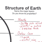
Earth’s Interior Layers
Cruise of the RV Oakley
Earth science is HOT Poster

Present is key to past Poster

Stromatolite Poster

Geologic Time Poster

Compass Reading
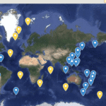
Earth’s Plate Tectonic Features
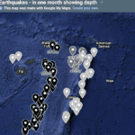
World Earthquakes by Depth

Gravestone Project – teachers guide

Lava Risk – interpreting a lava risk map

Thunder Island – volcanic eruption simulation

World River Quest

Banded Iron Formation Chemistry

Crystal Chemical Zones

Reading Ternary Diagrams

Chemical Weathering of Feldspar

Crustal Elements

Earthquakes – Find Detritus

Trilobite ID
Structure of Earth

Climeworld Eruption

Occupation Ages

Terrace Temperatures
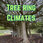
Tree ring climates
Iceman – ice core forensics

Plate Tectonic 3D Models

Earthquakes – reading time & distance (P&S) graph

Where to build the Hospital – Lava risk

Thunder Island – a volcanic eruption simulation

Earthquake Magnitude

Subduction Worksheet

Crust Types Worksheet

Glacial striations (DEMO)

Icebergs and sea level rise (DEMO)

Using Gravestones
Lava in Lihue – Role play activity
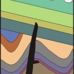
Cross Section Activities
Discussion Starters
Short videos that can help you start discussions with your students.

What are these washed up rocks? (Pumice)

What is making the rocks look like this? (Weathering)

What is cutting through those rocks? (Igneous intrusion)

How did that rock get here? (Tsunami)
Phenomenon Video Snaps
These are short explainer videos that highlight some features or geological concepts.


Posters


Rock Posters
Print your own rock posters – downloadable PDF file. 4 full-color pages. These are 2 pages wide (17 inches/43 cm) and 2 pages high (22.7 inches/58 cm).
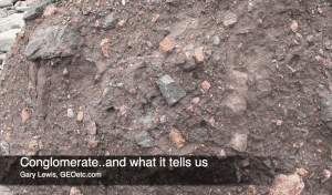
Sedimentary


Metamorphic


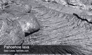
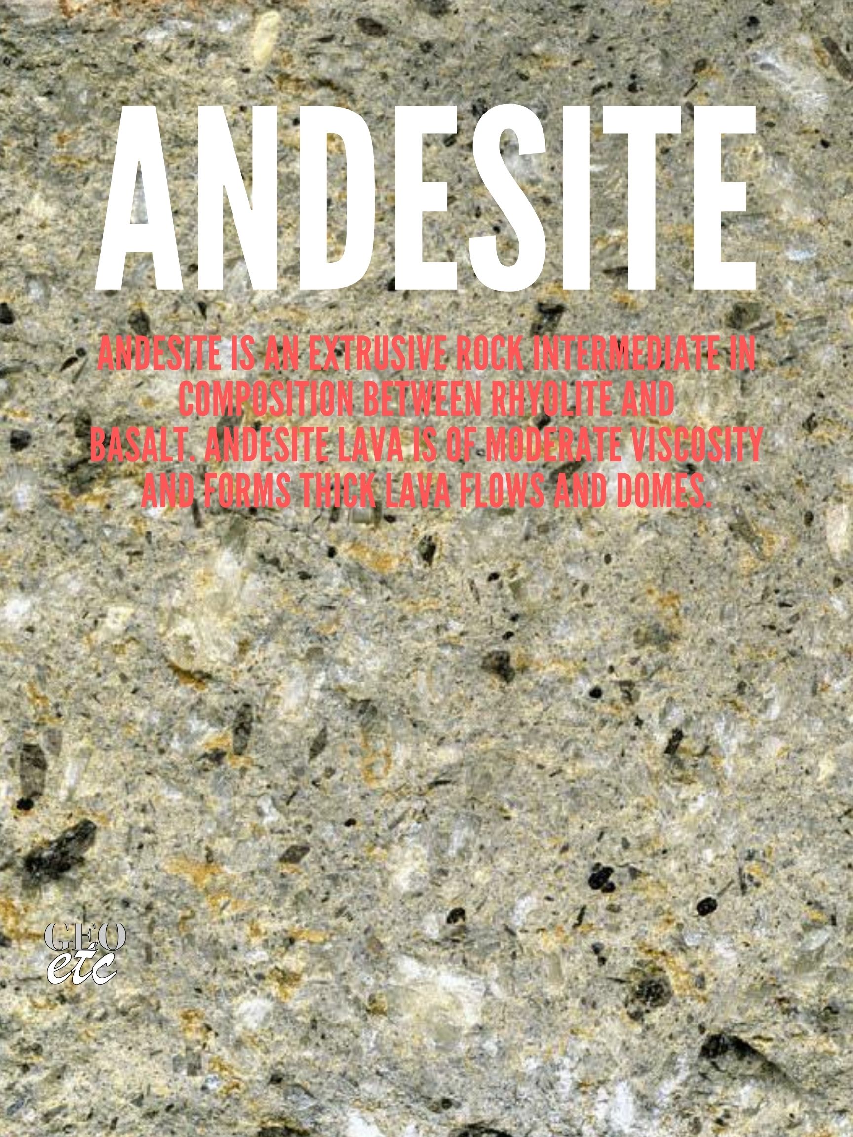
Igneous


Rock Cards
This is a new and growing resource for your teaching. Each rock card provides you with images of the outcrop, an interactive hand specimen (you can zoom in and rotate), and a hand lens view.

Rock card: Gneiss – Gilead, NH, USA

Rock card: Pegmatite vein – Windham, ME
Rock card: Basalt dike – Windham, ME
Rock card: Granite – Windham, ME

Rock card: Basalt – Hawaiian lava flow
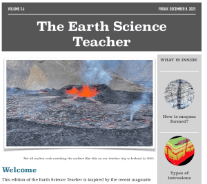
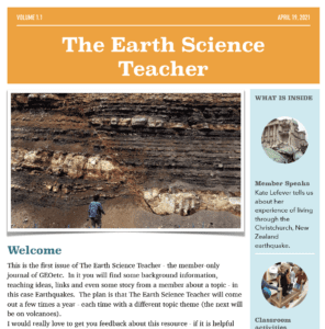
The Earth Science Teacher
The Earth Science Teacher was the member journal of GEOetc. It was published a few times a year and contained background information, teaching resources, links to member resources, and more.
It was discontinued in 2024.

TESTeacher 4.4 – Sedimentary Rocks

TESTeacher 4.3 – Erosion

TESTeacher 4.2 – Chemical Weathering

TESTeacher 4.1 – Physical Weathering
TESTeacher 3.4 – Igneous Intrusions

TESTeacher 3.3 – Rock Relationships

TESTeacher 3.2 – EarthCaching

TESTeacher 3.1 – Metamorphic Rocks

TESTeacher 2.4 – Glaciers

TESTeacher 2.3 – Iceland volcanoes

TESTeacher 2.2 – Divergent Plate Boundaries

TESTeacher 2.1 Fossils

TESTeacher 1.4 Deep Time

TESTeacher 1.3 Mineral Identification

TESTeacher 1.2 Volcanoes
TESTeacher 1.1 Earthquakes
Videos

Mathematics on an Active Volcano

Engineering on an Active Volcano

Technology on an Active Volcano

Science on an Active Volcano
Watcha Thinkin
Watcha Thinkin is a way to start discussions in your classroom about an Earth Science topic (aligned to the NGSS Storyline process).

Watcha Thinkin – Volcanoes
Writing Prompts
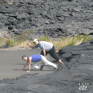
My story – Outrun the lava

My story – Lava tube
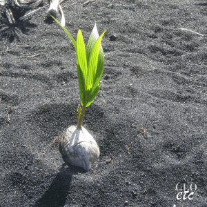
My story – Coconut Sprout

My story – Volcanic crater

My story – Horses to the falls
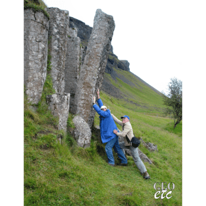
My story – Falling column

My story – Boy strikes it rich

My story – In the vent

My story – Devils Coach House

My story – Diamond Beach
Earth & Beyond
We are building a full curriculum – and will release new lessons here.
